Operational risk refined using commercial shipping density analysis
Date issued: 07 August 2026
This document has been approved for distribution by Ambrey Analytics Ltd.
“Maritime risk analytics must move beyond mapping where threats exist to assess how risk is experienced in practice—combining threat intelligence with commercial shipping patterns to enable more realistic voyage planning and security decisions.”
EXECUTIVE SUMMARY
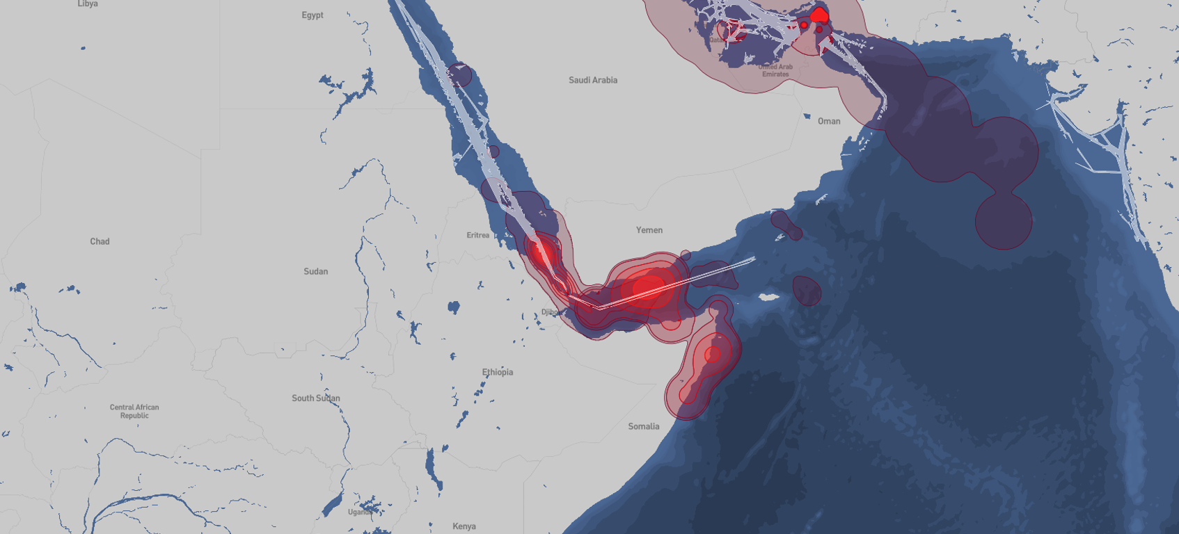
- Ambrey has refined its Dynamic Elevated Threat Area methodology, a part of the Voyage Risk Assessments, by incorporating commercial shipping density into its design.
- Traditional maritime threat areas identify where threats exist but do not account for the operational environment created by shipping lanes.
- Analysis of global AIS data identified established commercial shipping corridors, enabling threat areas to be refined using objective operational context while preserving the underlying threat assessment.
- The resulting modified Dynamic Elevated Threat Areas provide a more representative assessment of operational risk, supporting more informed voyage planning and security decision-making.
- The methodology combines automated geospatial analysis with regional analyst validation, delivering a transparent, repeatable and scalable capability that can be applied consistently across multiple maritime threat environments.
SITUATION
Traditional maritime threat mapping identifies areas where threats are present but typically applies a uniform risk classification across large geographic regions. While appropriate for representing the spatial extent of a threat, this approach does not account for the operational environment encountered by commercial vessels.